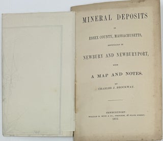
Mineral Deposits in Essex County Massachusetts, Especially in Newbury and Newburyport with Map and Notes
Newburyport [Massachusetts]: William H. Huse & Co., Printers, 1875. Wraps. [GEOLOGY] [MAP]. Map: Map of Mining Lands at Newbury and Newburyport, Essex County, Massachusetts, Boston: The Hatch Litho Co., 1875. 12mo; 60pp; map attached to title page; lacks a wrapper, publisher’s stab-stitched leaves; light soiling to title and last leaf;..... More