
The Official Map of Maine, Compiled from United States Government Surveys, Official State Surveys, and Original Sources
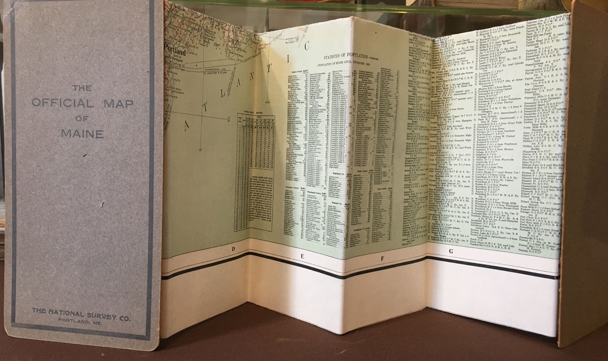
Portland, Maine: The National Survey Co., 1915. No binding. Case map that folds to 10 ½” x 5”; grey stiff board with title and publisher on front; light sunning to back board, bumping to cover corners, 3 pin holes as if stabbed with a paper clip or similar sharp object to front board extending through the map as small pin holes; very good plus.
Folded map measures 58” x 36”, and 44 3/8” x 33 7/8” within the neat line; canvas backed folding map; color printed in two colors: peach and light green; alpha index; two of the three pin holes mentioned in the case description continue through the map on the left side as small neat pin pricks getting smaller with each fold of the map; a few intersecting folds are starting to wear and split; very good. WorldCat shows 7 holdings for all 5 editions of the map. / very good. Item #103
Price: $185.00