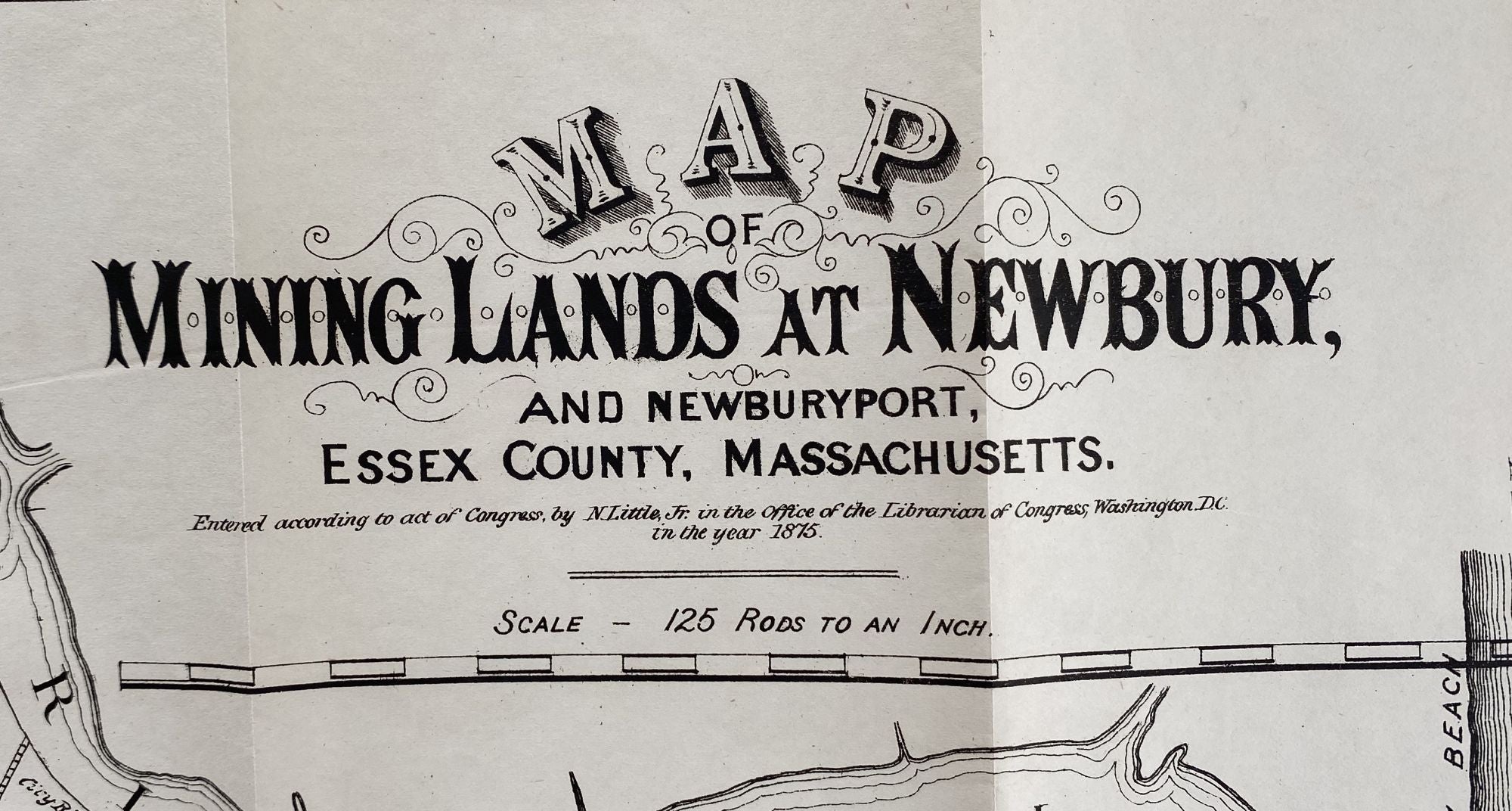
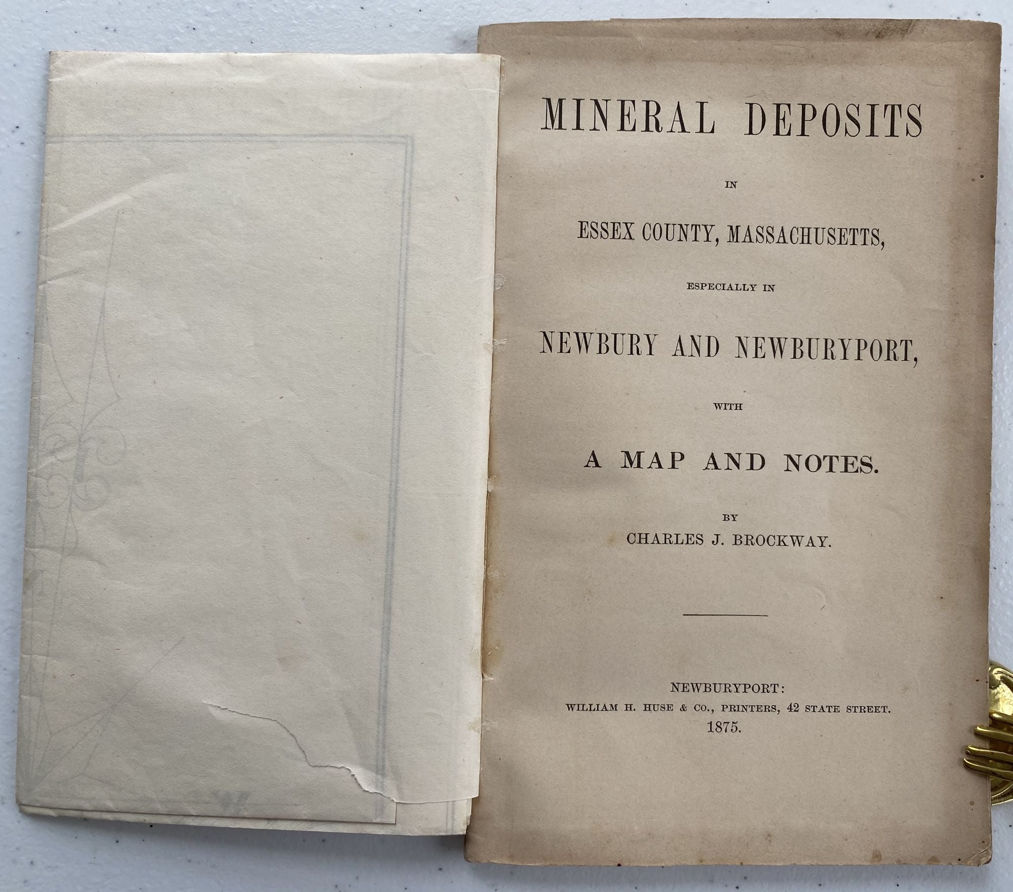
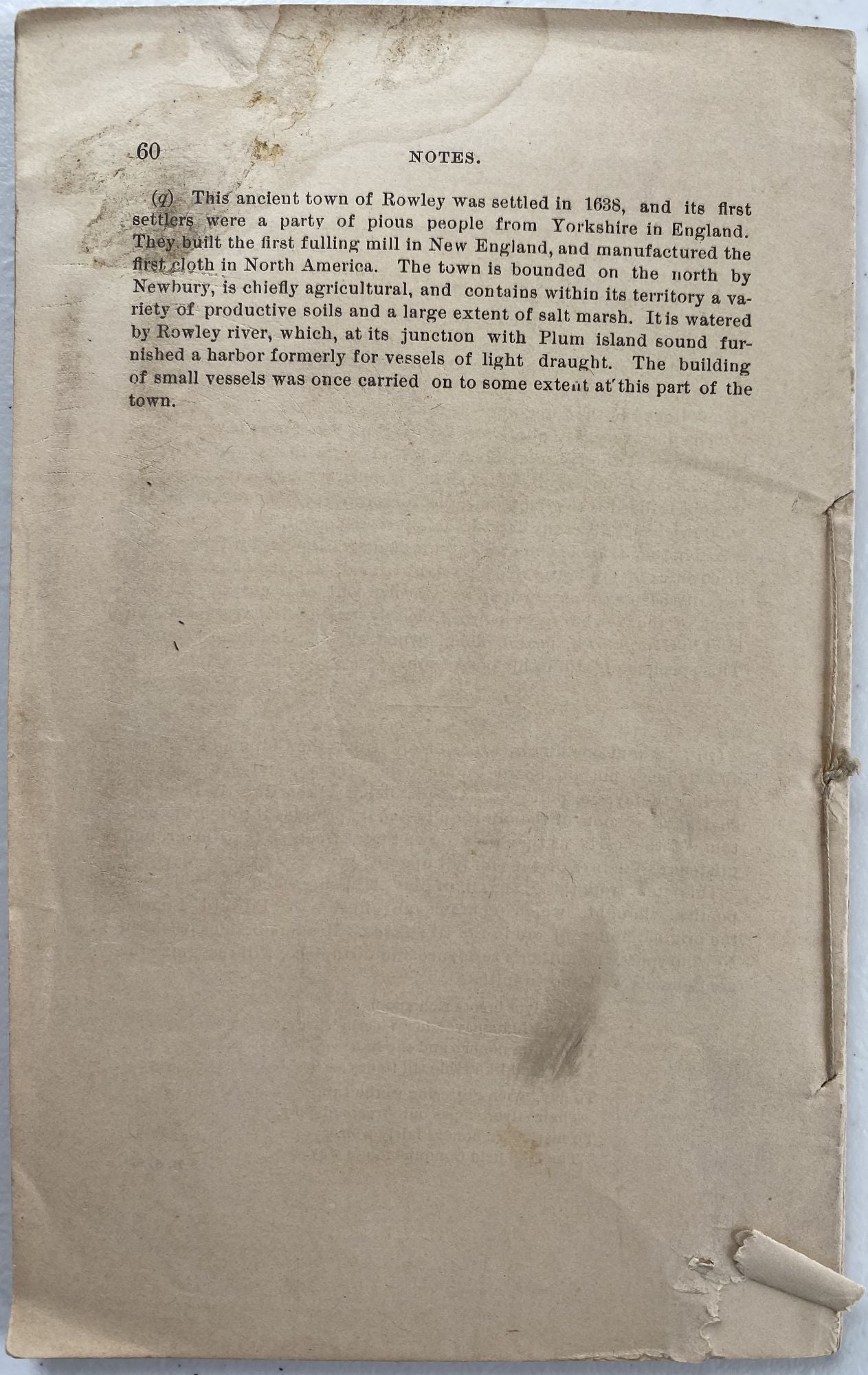
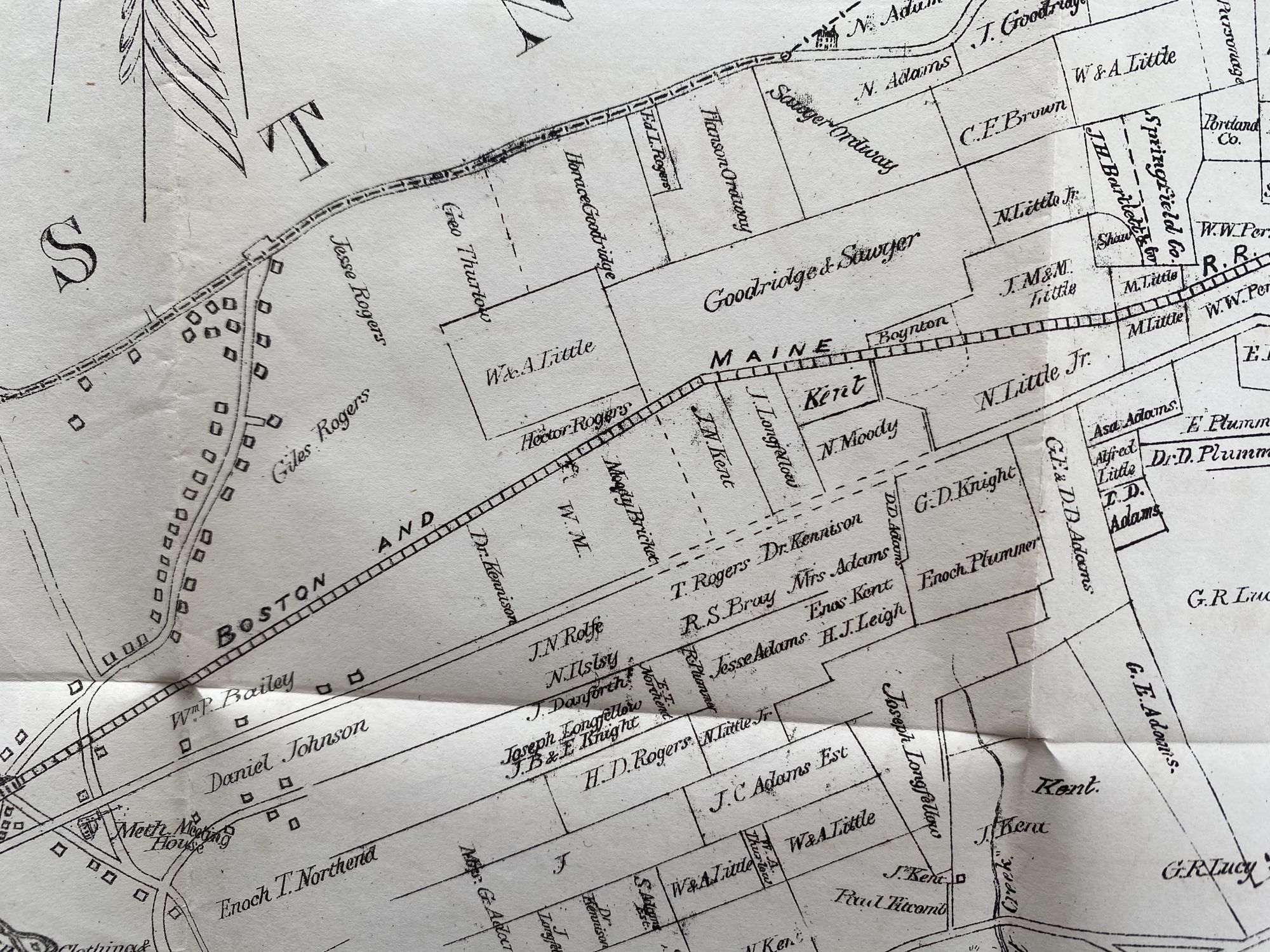
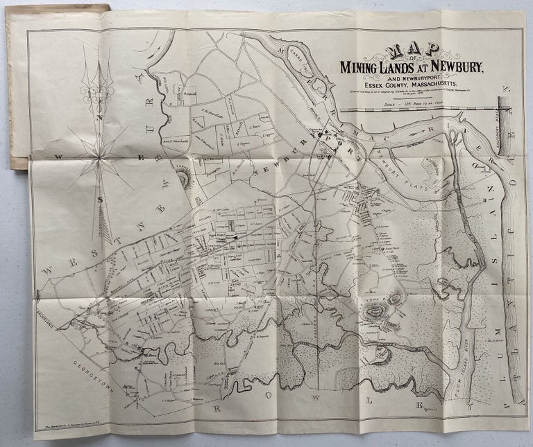
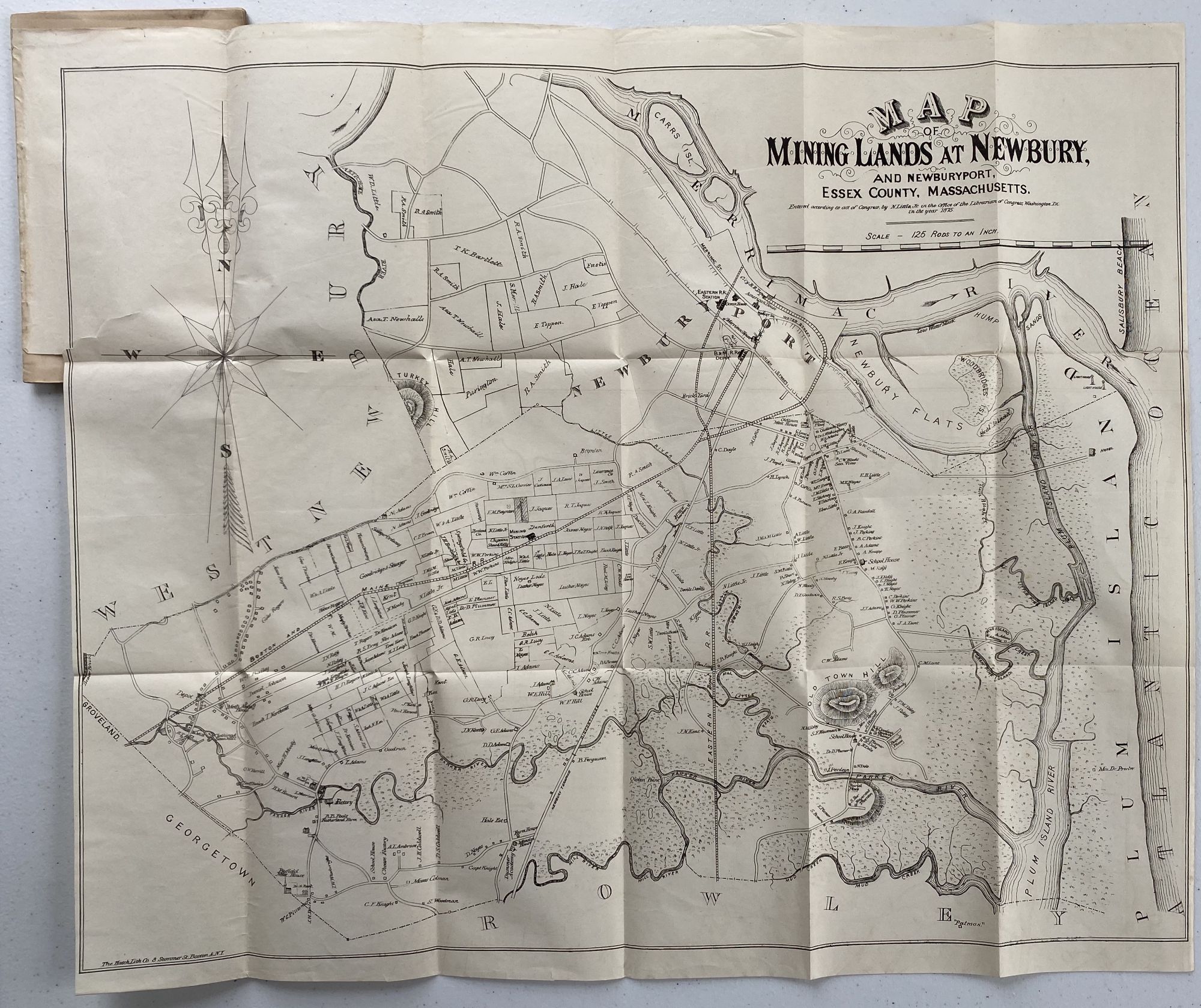
Mineral Deposits in Essex County Massachusetts, Especially in Newbury and Newburyport with Map and Notes; Map title: Map of Mining Lands at Newbury and Newburyport, Essex County, Massachusetts
Newburyport, [Massachusetts]: William H. Huse & Co., Printers, 1875. First Edition. Wraps. [GEOLOGY] [MAP]. Map: Map of Mining Lands at Newbury and Newburyport, Essex County, Massachusetts, Boston: The Hatch Litho Co., 1875. Map: Paper size: 19 ¼” x 22 5/8”; 17 ¾” x 22 3/8” within the neat line; closed tear to left side extending through the neat line at attachment to page; very good.
Pamphlet: 12mo; 60pp; map attached to title page; lacks a wrapper, publisher’s stab-stitched leaves; light soiling to title and last leaf; 2 spots on pp37; very good. Located in 10 OCLC libraries. Very good. Item #1173
Detailed report on the silver and lead mines of eastern Massachusetts around Newbury and Newburyport. The attached map supplements the report giving an interesting and detailed look at these communities in 1875. Included are the land plats with ownership, points of interest including train depots, ice houses, farms, factories, churches, mills, schools, cemeteries, a mining station, meeting houses, a hotel, brickyard, the town green and two lighthouses. Two railroad lines are shown: the Boston and Maine line and the Eastern Rail Road line. There are interesting geographical areas identified, including: Devil’s Den, Hump Sands, Newbury Flats and Salisbury Beach; several islands: Carrs Island, Seal Island and Woodbridge Island; and 10 creeks and rivers.
Price: $200.00