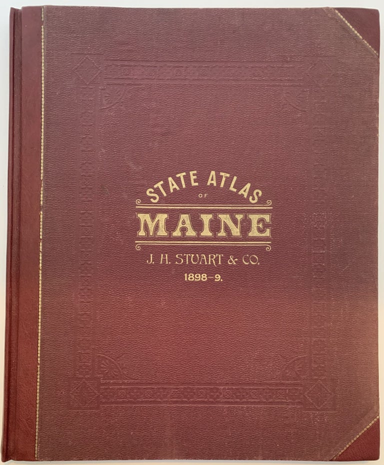
Stuart’s Atlas of the State of Maine including Statistics and Descriptions of its History, Educational System, Geology, Railroads, Natural Resources, Summer Resorts, and Manufacturing Interests, Compiled from Official Plans and Actual Surveys, 10th Edition; Cover title: State Atlas of Maine, J.H. Stuart & Co, 1898-9
South Paris, Maine: J.H. Stuart, 1890. 10th Edition. Half Bound Leather. Folio, 18” x 15”. 109pp; half-bound in maroon leather with pebbled and blind stamped cloth over board, gilt stamped title to front cover; engraved and hand-colored maps, engraved illustrations in the text; 1 black and white engraving, 44 full page colored maps, many with multiple maps on the page and 14 double page colored maps; vertical creasing to front free endpaper and title page, (most likely from closing the volume improperly), light foxing to endpapers; very good plus in restored condition, see description of restoration. WorldCat libraries show 2 holdings of this edition. Williamson 9592.
The atlas has been professionally restored by bookbinder, Julie Stackpole (Thomaston, Maine). The tear on the fold-out map of Maine (where it is attached into the spine across the closet quadrant of the map) has been repaired with paste scarf-joining sides of tear and Document repair tape, mostly on verso. The title page and last page have had Japanese tissue repair over the stapled areas and have been trimmed. Creases on the title page and front fly have been smoothed with Document tape over them. The board corners and spine have been restored with marron Niger goatskin; new cloth under old at corners where worn; a small tear in the backboard cloth was mended. Very good +. Item #138
A compilation of maps of the state of Maine with a listing of makers in the Preface; the title page states an 1890 copyright but the atlas front cover states the date as 1898-9. An exciting and important atlas in the growth and development of the state of Maine; timber maps give a glimpse at that important industry. Two double page maps from Frank Gray are included: Gray’s New Map of the United States, 1897 and Gray’s New Map of the World in Hemispheres…, 1879. An interesting campus map of the University of Maine is included. The last 5 pages are an interesting directory of “Business Firms and Professional Men in the State”.
Price: $1,200.00
