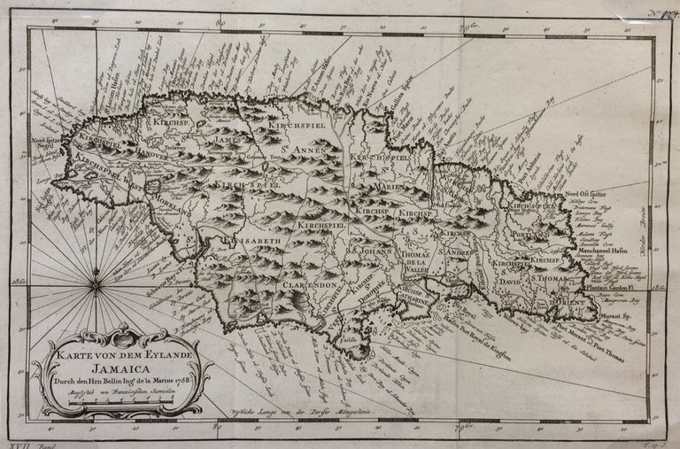
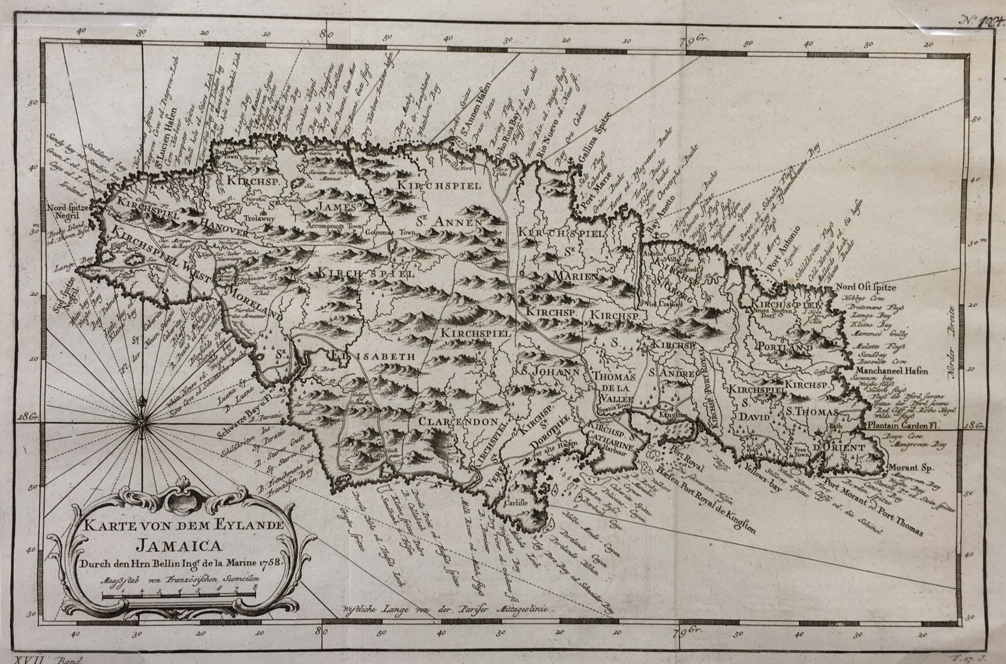
Karte von dem Eylande Jamaica
Leipzig: J.J. Schwabe, 1758/1760. English translation: Map of the Island of Jamaica.
9 x 14 1/2", 8 x 12 3/8“ within the neat line; plate mark visible, two vertical folds as issued; decorative ornate cartouche with title and date; rose compass over cartouche; fine. Fine. Item #289
This map produced by Jacque Nicolas Bellin (1703-1772) a French cartographer and hydrographer, Bellin produced important maps of his time. He was a member of the Royal Society of London and the Académie de Marine in France. He served as a hydrographer to the French navy from the age of 18 and rose to the title of Official Hydrographer to the King. This map issued in 1760.
Price: $250.00