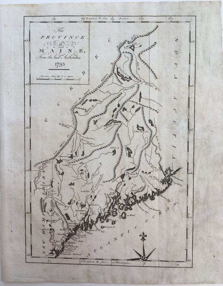
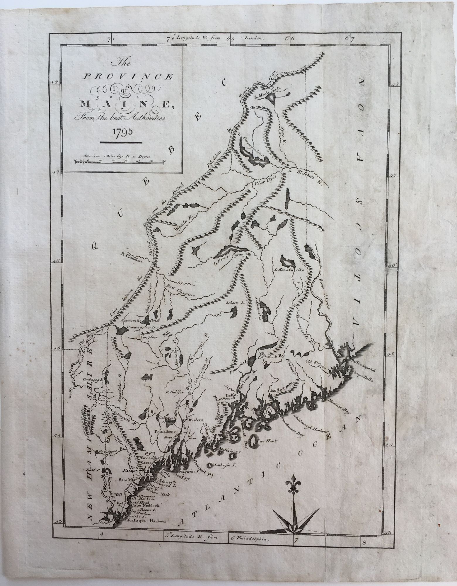
The Province of Maine, from the best Authorities 1795
New York: John Reid, 1796. Uncolored. Professionally restored along old vertical fold. Very good. Very good. Item #408
This map is from the first general atlas engraved and published in the USA. This map uses the map drawn by Samuel Lewis and issued in 1794 published in Carey's American Edition of Guthrie's Geography improved as its basis (Rumsey and Ruderman). The northwestern boundary shows the "Line between the United States and the British Possessions by Treaty 1783". It shows major coastal cities, marks rivers and mountain ranges. Scarce.
Price: $595.00