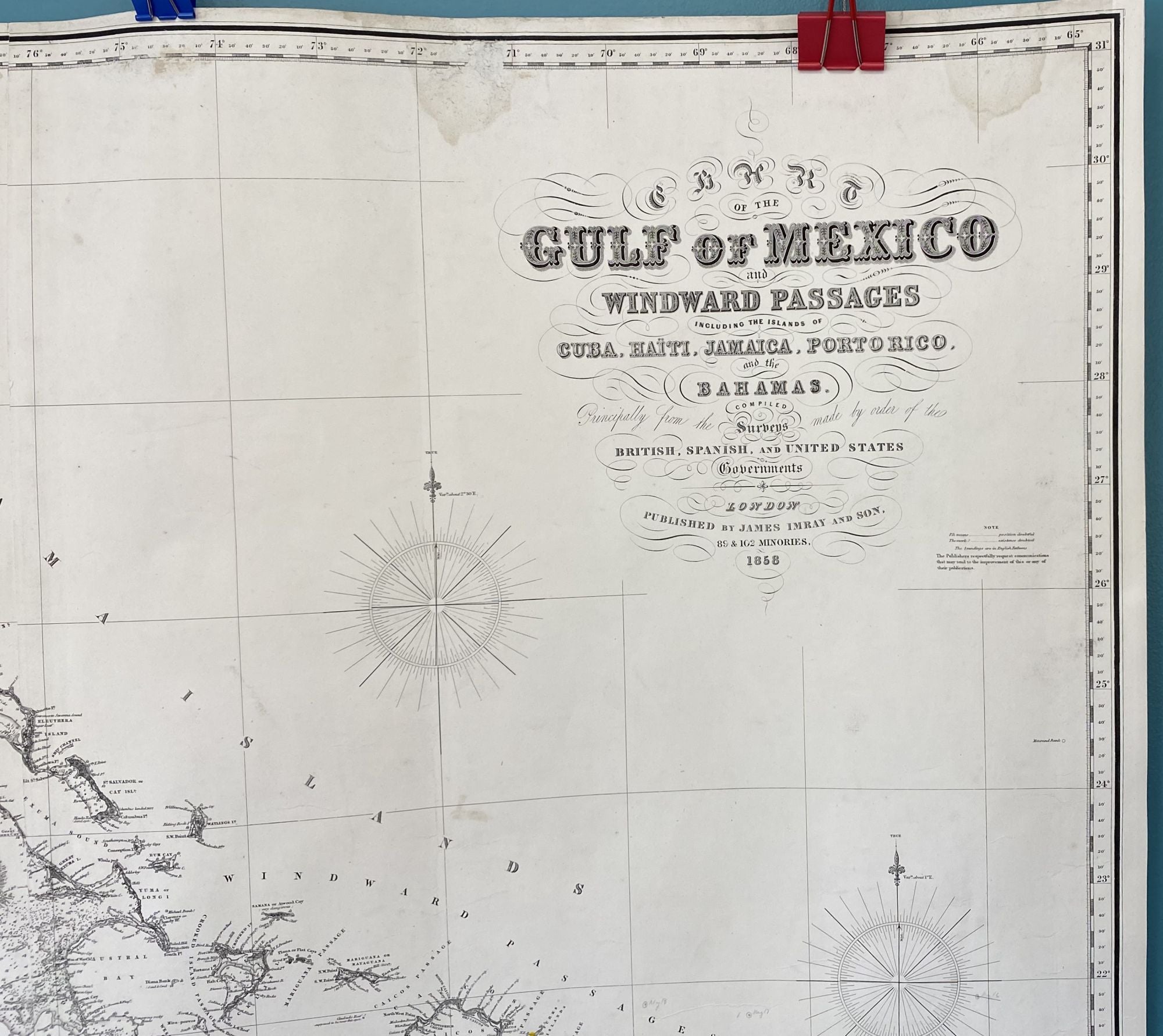

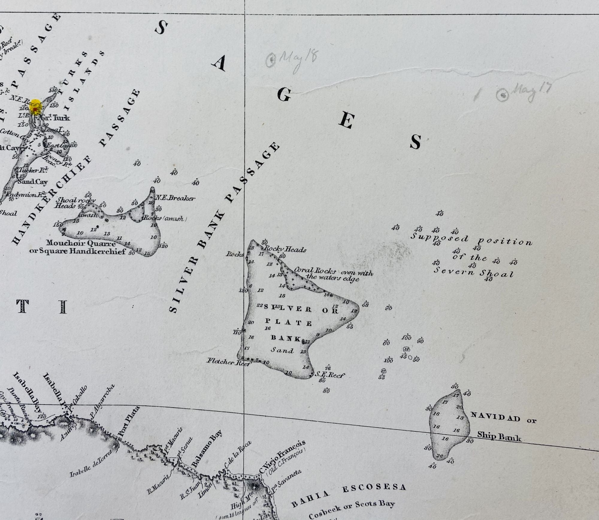
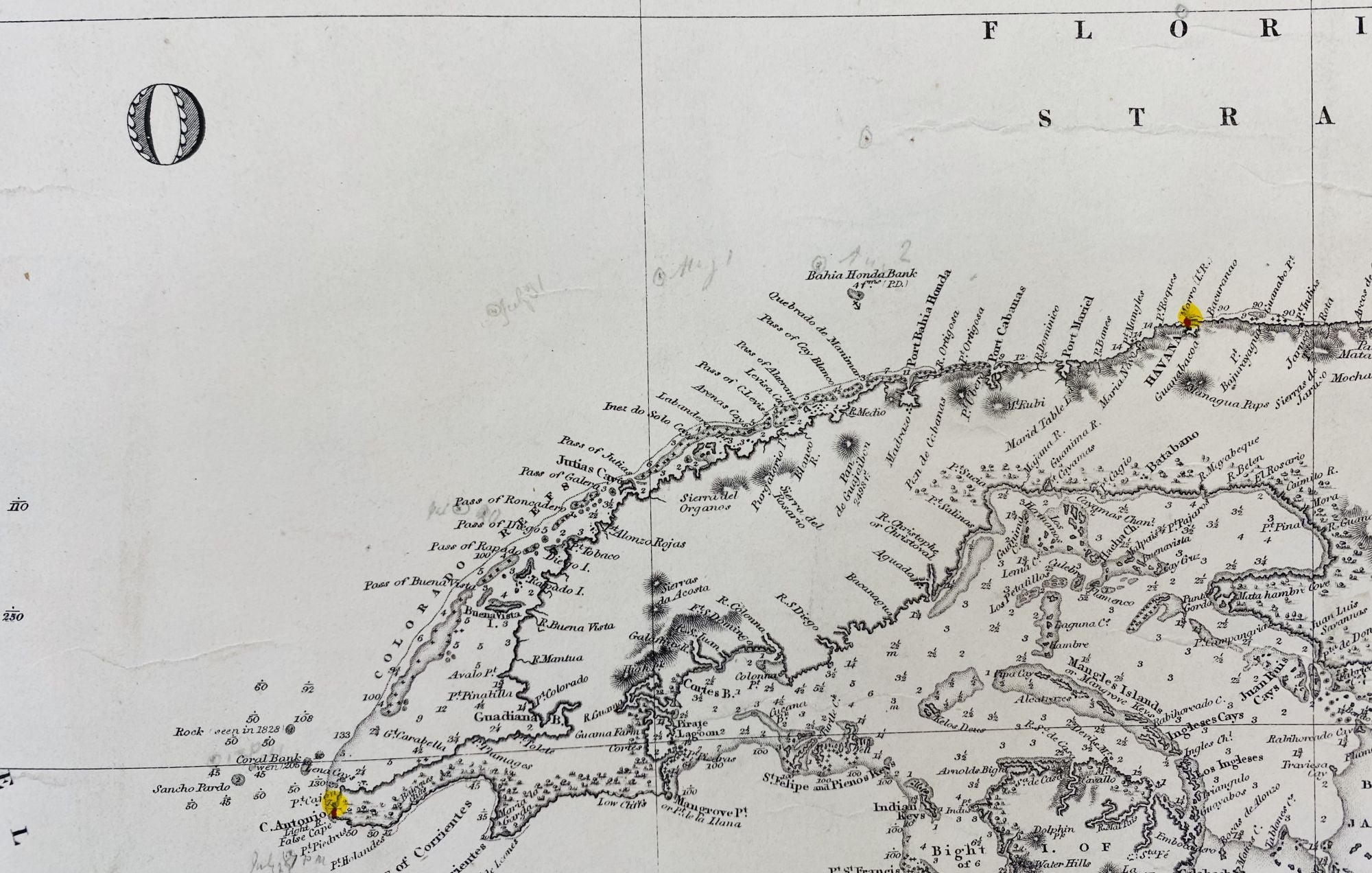
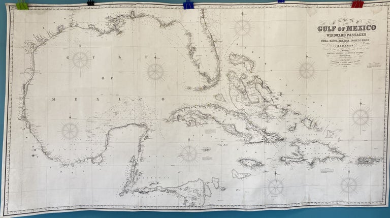
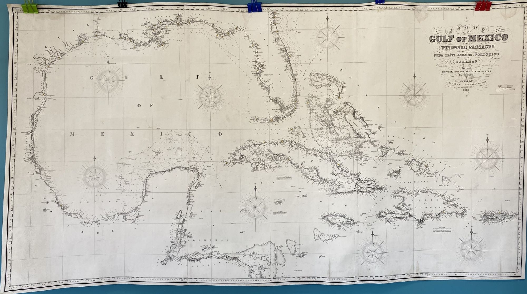
Chart of the Gulf of Mexico and Windward Passages including the Islands of Cuba, Haiti, Jamaica, Porto Rico, and the Bahamas. Compiled principally from the surveys made by the order of the British, Spanish, and United States Governments
London: James Imray & Son, 89 & 102 Minories, 1858. Map no binding. 40” X 74” within the neat line; three sheet blue-back chart; lighthouses indicated with red and yellow hand-coloring; light damp staining to the edge and a few scattered light stains; cleaned, conserved, and infill to areas of loss at upper and lower edges, mostly outside the neat line, new blue back lining by Green Dragon Binder, Shrewsbury, MA; very good plus. Edition of 1870 held at The British Library, St. Pancras, London; no WorldCat libraries hold this edition. Scarce. Very good +. Item #948
From a local Maine coastal barn, this uncommon nautical chart has been professionally conserved. The chart labels the U.S states bordering the Gulf of Mexico, including Texas, Louisiana, Mississippi, and both East and West Florida. West Florida was an independent republic for several months during 1810, and a curious addition to this chart. A working chart, small light notations in pencil with dates remain, showing progress in navigation.
Price: $2,600.00